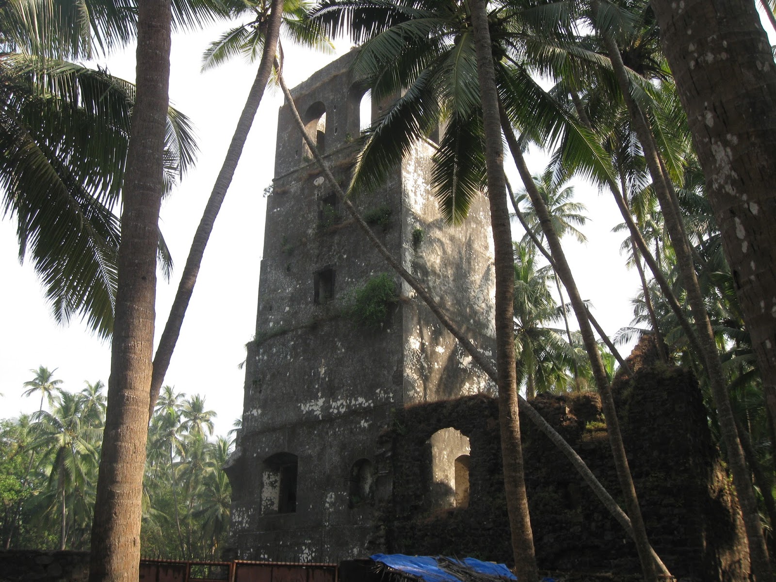
During my recent trip to Konkan, just north of the Tural area, I came across a sign for a hot water spring.

This is located in the small settlement of Aaravali. The area around the spring has been converted into a tourist spot where locals and tourists come to enjoy a warm bath.
One interesting feature of Konkan coastal belt is the presence of hot water springs arranged in a fairly narrow linear belt from north of Mumbai to Ratnagiri area in the south. They occur somewhat midway between the Western Ghat Escarpment and the coast. Few names from north to south- Vajreshwari, Akoli kund, Ganeshpuri, Pali, Dasgaon, Unhere, Tural, Aaravali, Rajapur. Satellite image shows the area between Dabhol and Ratnagiri. Hot springs are located within the oval. The dark brown undulating line is the trace of the Western Ghat Escarpment.

What is so special about this area? See the map. Black lines are fracture zones, trending N-S, NW-SE and NE-SW. Hot water springs are located in the vicinity of these fractures roughly within the oval. The depicted area is again between Dabhol and Ratnagiri, but this relationship between fracture systems and location of hot springs applies elsewhere along the entire Konkan coastal region.

Source: Neotectonism in the Indian Subcontinent: Landscape Evolution- K.S Valdiya and Jaishri Sanwal (modified).
Water temperatures are between 50 deg C to 60 deg C. Interestingly, analysis shows significant levels of radon gas at measured sites near Tural. Presence of radon gas hints at the reason why there are hot springs here. It points to deep circulation of water.
The crust in this region is made up of a foundation of older Precambrian age granitic rocks overlain by several hundred meters of younger basalt of Late Cretaceous to Paleocene age (67-65 million years old). Radon forms by radioactive decay of uranium. The Deccan Basalts contain only tiny amounts of uranium. Granites on the other hand are enriched in uranium. Radon emission here imply that these fractures cut through the basalt pile and penetrate the 2 billion years and older granitic rocks underlying these basalts.
Such fracture systems have provided a passageway for groundwater to percolate to great depths. Cool water comes in contact with hot rocks deep below and gets heated. This warmer buoyant water then rises to the surface, forming a hydrothermal circulation system. The cross section shows fracture/fault systems of the coastal region cutting across basalts and penetrating the underlying granitic basement. I have added a few additional fractures to the figure.

What makes the rocks hot? What is the source of heat? Deccan volcanism ended 60 million yrs ago. It is unlikely that there is any magma underneath to provide heat. Rocks get hotter at depths due to the natural geothermal gradient. Some geologists think that many of these fractures are actually faults along which there is intermittent movement of the crust. This faulting may be causing friction between crustal blocks, generating additional heat in these zones. These fractures and faults are a legacy of the breakup of the India with Madagascar and later Seychelles during and post Deccan volcanism 68 -60 million years ago. This rifting of the Indian crust resulting in oriented fracture systems.
The schematic shows the evolution of the Western Ghat escarpment and the coastal region. Earlier, perhaps soon after Deccan volcanism ended, the escarpment was a west facing cliff formed when faulting caused the western block to subside . Subsequent erosion has resulted in this cliff retreating eastwards, creating a coastal plain. Orange lines mark the highly fractured Indian crust.

Source: Western Ghat: The Great Escarpment of India- V.S. Kale 2010. (modified)
Next time you visit Konkan and take a dip in the invigorating warm waters, remember that grand geological forces of continental separation are responsible for the high heat flow and the ground water circulation systems that arise consequently.

This is located in the small settlement of Aaravali. The area around the spring has been converted into a tourist spot where locals and tourists come to enjoy a warm bath.
One interesting feature of Konkan coastal belt is the presence of hot water springs arranged in a fairly narrow linear belt from north of Mumbai to Ratnagiri area in the south. They occur somewhat midway between the Western Ghat Escarpment and the coast. Few names from north to south- Vajreshwari, Akoli kund, Ganeshpuri, Pali, Dasgaon, Unhere, Tural, Aaravali, Rajapur. Satellite image shows the area between Dabhol and Ratnagiri. Hot springs are located within the oval. The dark brown undulating line is the trace of the Western Ghat Escarpment.

What is so special about this area? See the map. Black lines are fracture zones, trending N-S, NW-SE and NE-SW. Hot water springs are located in the vicinity of these fractures roughly within the oval. The depicted area is again between Dabhol and Ratnagiri, but this relationship between fracture systems and location of hot springs applies elsewhere along the entire Konkan coastal region.

Source: Neotectonism in the Indian Subcontinent: Landscape Evolution- K.S Valdiya and Jaishri Sanwal (modified).
Water temperatures are between 50 deg C to 60 deg C. Interestingly, analysis shows significant levels of radon gas at measured sites near Tural. Presence of radon gas hints at the reason why there are hot springs here. It points to deep circulation of water.
The crust in this region is made up of a foundation of older Precambrian age granitic rocks overlain by several hundred meters of younger basalt of Late Cretaceous to Paleocene age (67-65 million years old). Radon forms by radioactive decay of uranium. The Deccan Basalts contain only tiny amounts of uranium. Granites on the other hand are enriched in uranium. Radon emission here imply that these fractures cut through the basalt pile and penetrate the 2 billion years and older granitic rocks underlying these basalts.
Such fracture systems have provided a passageway for groundwater to percolate to great depths. Cool water comes in contact with hot rocks deep below and gets heated. This warmer buoyant water then rises to the surface, forming a hydrothermal circulation system. The cross section shows fracture/fault systems of the coastal region cutting across basalts and penetrating the underlying granitic basement. I have added a few additional fractures to the figure.

What makes the rocks hot? What is the source of heat? Deccan volcanism ended 60 million yrs ago. It is unlikely that there is any magma underneath to provide heat. Rocks get hotter at depths due to the natural geothermal gradient. Some geologists think that many of these fractures are actually faults along which there is intermittent movement of the crust. This faulting may be causing friction between crustal blocks, generating additional heat in these zones. These fractures and faults are a legacy of the breakup of the India with Madagascar and later Seychelles during and post Deccan volcanism 68 -60 million years ago. This rifting of the Indian crust resulting in oriented fracture systems.
The schematic shows the evolution of the Western Ghat escarpment and the coastal region. Earlier, perhaps soon after Deccan volcanism ended, the escarpment was a west facing cliff formed when faulting caused the western block to subside . Subsequent erosion has resulted in this cliff retreating eastwards, creating a coastal plain. Orange lines mark the highly fractured Indian crust.
Source: Western Ghat: The Great Escarpment of India- V.S. Kale 2010. (modified)
Next time you visit Konkan and take a dip in the invigorating warm waters, remember that grand geological forces of continental separation are responsible for the high heat flow and the ground water circulation systems that arise consequently.